Etowah and a Goal Accomplished!I did it! I paddled 5 different rivers!
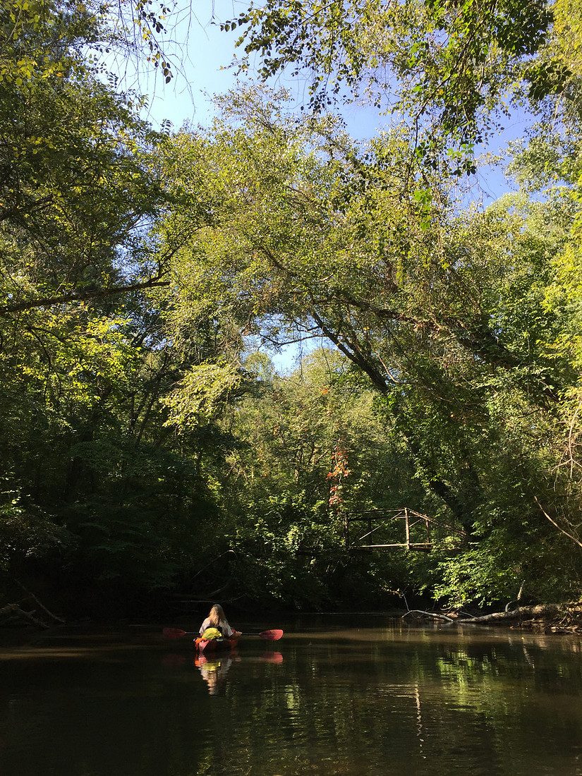
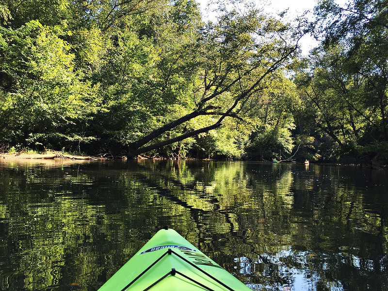
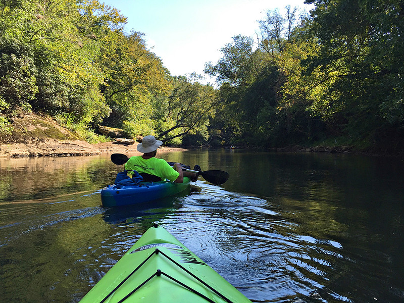
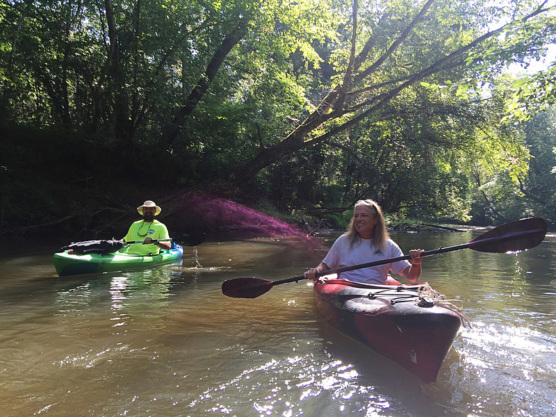
We paddled the quiet section of the Etowah River through Dawson Forest. We put in at River Park off Hwy 9 and took out at Kelly Bridge. The map said 9 miles but the mile markers said over 10. It is a slow flow and hardly any eddy's. According to the map there was supposed to be a class II before the Amicalola River met the Etowah but it was more like a hiccup. I was disappointed. Maybe if there was more water... A LOT more water *sigh*.
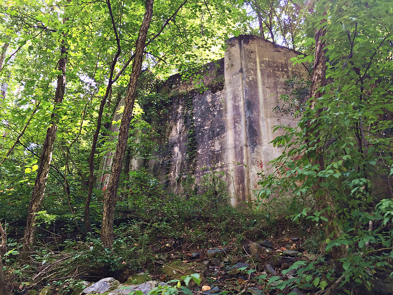
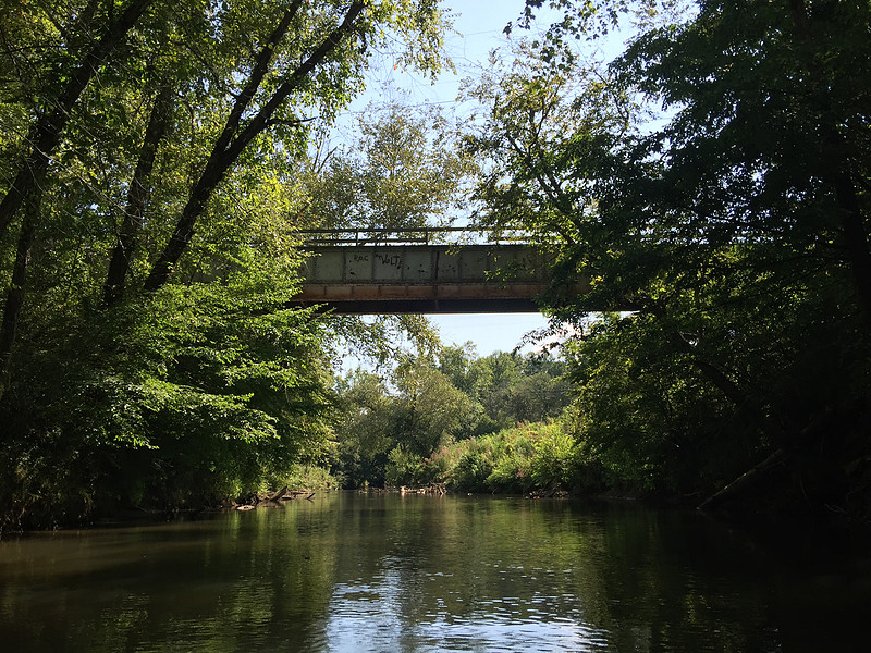
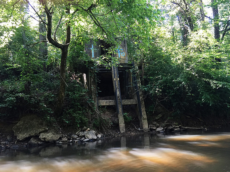
There were several bridge remnants, and an abandoned Nuclear Laboratory!
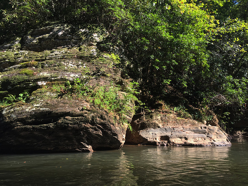
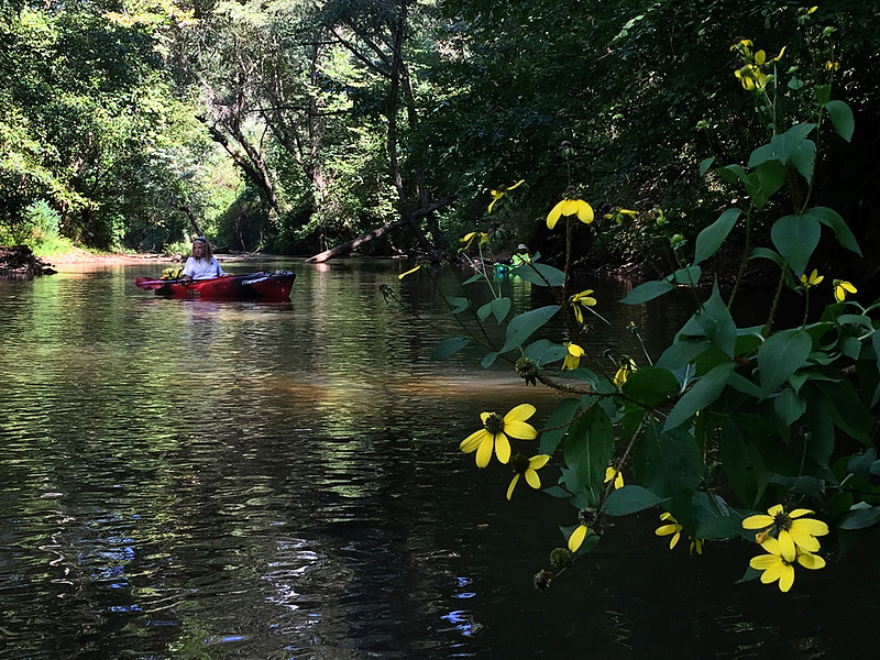
This was a very pretty river. Lots of trees running across it so there was some maneuvering. It was a little low but not terrible.
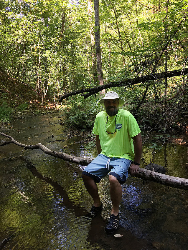
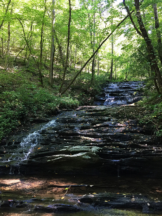
We even got to hike to a waterfall!
We talked to some folks when we put in and they told us to look for a cable that goes across the river like a "V". Once we saw that there would be a trail river left and we could pull over and hike to a waterfall. It was really easy to spot.
Just before the take out there is a spot called "Funny Water". The entire river narrows and flows between to HUGE boulders. I am still learning the Go Pro ( it is a knock off) and video editing is not my forte...yet...but here is a video of that part of the river.
I just thought that was so cool! Technically we paddled 2 rivers this day. The Amicalola River flows into the Etowah and we paddled up that river a little ways to check it out. To recap the summer by water ways Chattahoochee, Broad, Ocoee, Chestatee, Etowah, Amicalola, Fort Yargo State Park and Lake Lanier. Not too Shabby! 
Comments
D C(non-registered)
Great photos! It was a quiet, beautiful paddle day...
Alison Evans(non-registered)
Beautiful
No comments posted.
Loading...
|
Subscribe
RSS
Archive
January
February
March
April
May
June
July
August
September
October
November
December
|